A Multi-Disciplinary Firm Providing Integrated Engineering, Environmental & Survey Solutions Of The Highest Quality
In Business Since 1995 | Over 100 Years of Combined Experience | Locally Owned
In Business Since 1995Over 100 Years of Combined ExperienceLocally Owned
Locally Owned
Civil & Site Engineering
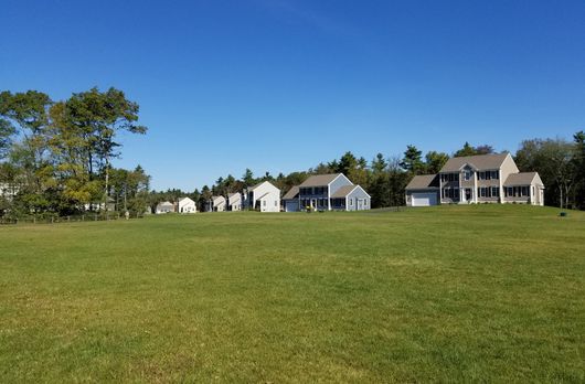
Prime Engineering Inc offers practical solutions for a broad range of site development problems. We have extensive experience in design and permitting for municipal, institutional, industrial, commercial, and residential developments.
Learn More

Land Surveying
Prime Engineering provides high-quality land surveying services, including boundary determination, topographic mapping, construction layout, and environmental project-related surveys.
Environmental Consulting
With extensive experience in the assessment and remediation of environmentally impaired sites, our locally owned business offers expert strategy and technical capabilities to resolve complex environmental challenges.
Learn More

We have more than 100 years of combined experience. Our engineers, land surveyors, and environmental consultants are all available in-house to take care of all your needs in one place. Call us today to learn more!
508-947-0050